- by
- 07 24, 2024
-

-
-
Loading
Loading
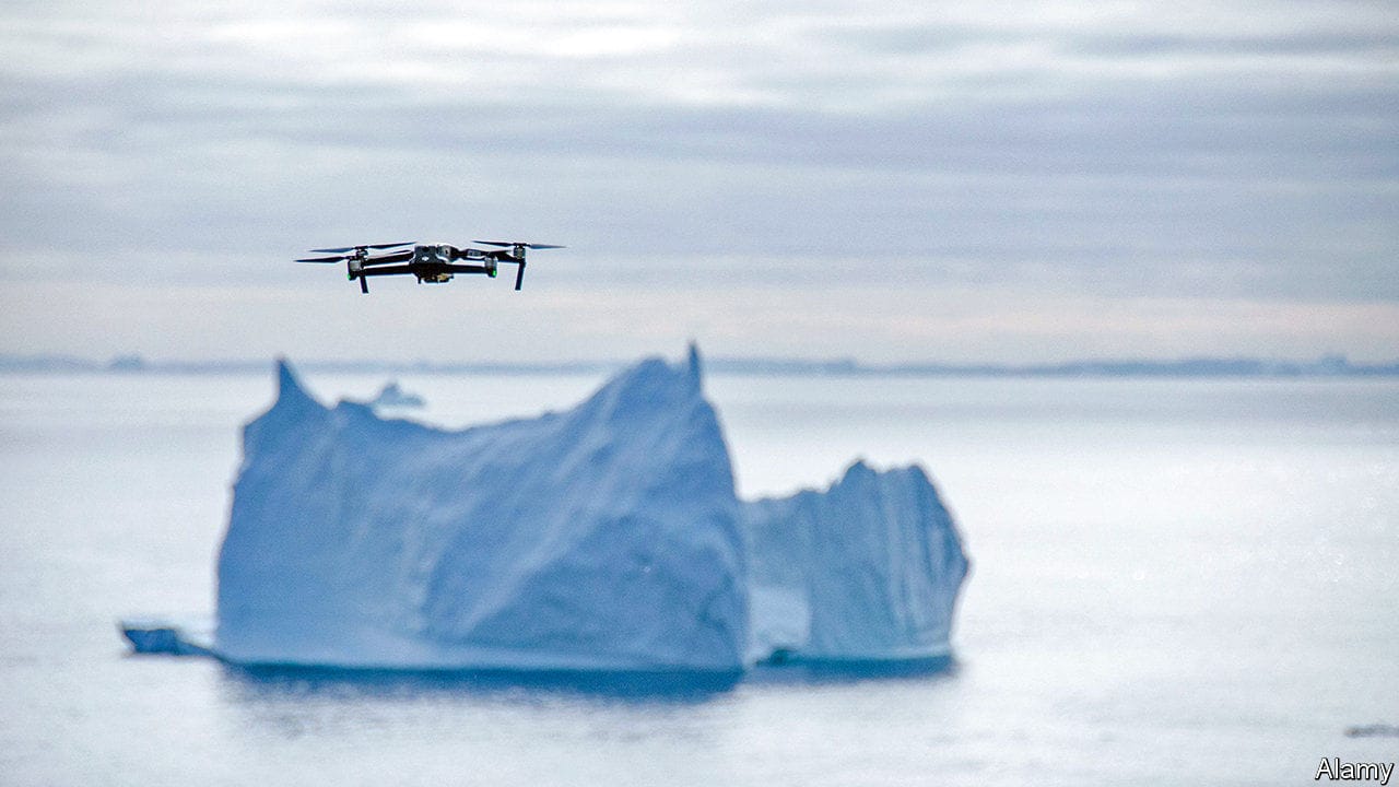
a name for the third planet from the sun might reasonably plump for “Sea” or “Ocean”, rather than “Earth”. Two-thirds of its surface is covered by salt water, and its predominant colour, viewed from far away in space, is blue. What underlies all this brine, though, remains surprisingly mysterious to the planet’s ape-descended inhabitants. As recently as 2019, for example, researchers found several thousand new underwater mountains, known as seamounts, by measuring the effects of their gravity on the ocean’s surface. More such discoveries almost certainly await.One important reason for ignorance about the seabed is the lack of a tool that can easily map its topography from an aircraft flying above the water. That, though, is about to change. Researchers at Stanford University, led by Amin Arbabian, an electrical engineer, have developed what they call the Photoacoustic Airborne Sonar System, . This makes it possible to scan the ocean floor rapidly, from a helicopter, rather than relying on a slow-moving ship or submarine.